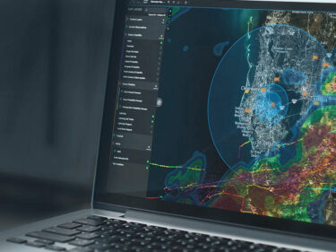
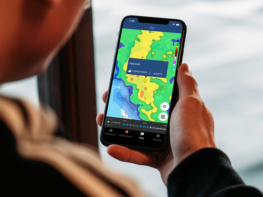
Sferic Maps®

Storms don’t have to mean delays, downtime, or danger. Sferic Maps gives you the web-based software you need to track severe weather, receive instant alerts, and make proactive decisions—protecting your people, property, and peace of mind.

The smart choice for severe weather safety

Severe weather expertise

Trusted weather data

Access reliable insights from AEM’s global network of thousands of professional-grade weather stations.

Unmatched lightning detection

Get fast, accurate severe weather warnings, powered by our Earth Networks Total Lightning Network®.

Customizable dashboards

Anticipate and respond to multiple weather threats simultaneously with access to over 80 weather conditions.

How we can help

COMPLETE VIEW

Elevated situational awareness

Sferic Maps provides clear visibility into current and developing weather conditions, helping you stay informed and act quickly. With access to a library of 80+ map layers, you can understand weather impacts like never before.

  • Earth Networks Total Lightning Network: Be ready before the storm arrives using the most reliable and precise lightning detection in the world.
  • Current and forecasted radar: Understand what’s happening now and what’s coming next.
  • Severe weather layers: Be prepared to respond to any threat all year round,  from tropical weather and extreme heat to freezing rain and snow.

AUTOMATE ACTION

Proactive, customizable alerts

Whether you’re managing an event, overseeing a facility, or ensuring workplace safety, Sferic Maps keeps you informed even when you’re not actively monitoring the weather.  Receive instant notifications through email or text message so you never miss critical updates. Send alerts to a custom distribution list, ensuring that the correct people are informed at the right time. You can tailor alerts to specific weather conditions—such as lightning, Wet Bulb Globe Temperature (WBGT), or high winds—so they align perfectly with your organization’s unique needs and severe weather policies.

MOBILE DATA

Weather insights for teams on the move

Whether your team is in the field, working at multiple locations, or in remote areas, Sferic Maps ensures they can access all their weather data and alerts from any mobile device. Use a web browser for quick and easy access, or opt for the Sferic Connect mobile app for enhanced features like GPS-based alerts and push notifications. Both options deliver real-time updates tailored to the user and your organization’s weather safety policies.

Customer Stories

Post Case Study

Palm Beach County coordinates district-wide weather safety

Watch how the county coordinates weather safety information across multiple locations with Earth Networks.

Post Case Study

Improved lightning alerts for airports in Argentina

Watch how EANA has created custom lightning alerts for specific distances around their airports.

FAQs

Sferic Maps is accessible on any web browser, providing flexibility for use on desktop and mobile devices. For teams in the field, the Sferic Connect mobile app is specifically designed for Android and iOS devices, ensuring they stay informed and connected wherever they are.

Absolutely. Sferic Maps allows you to tailor alerts based on specific weather conditions, locations, and organizational needs. You can also deliver different alerts to different user groups, ensuring that individuals only receive notifications when they need to act. This flexibility helps streamline communication and prevent alert fatigue.

Sferic Maps is ideal for any organization that needs to monitor and respond to lightning and severe weather conditions to protect people, property, and operations. This includes emergency management teams, school districts, club and sports managers, event planners, and airlines and airports. Whether you’re managing a single site or a distributed network of locations, Sferic Maps provides the tools to make proactive, weather-driven decisions.

Related Products & Services