Ground Transportation
Unexpected weather can wreak havoc on roads. Our monitoring tools help you make informed decisions, so you can protect road users and plan your maintenance regime.
Unexpected weather can wreak havoc on roads. Our monitoring tools help you make informed decisions, so you can protect road users and plan your maintenance regime.

We help transportation companies keep people and cargo safe in the face of weather.
We connect shipping companies with real-time and historic data for route optimization.

We provide the data you need to deliver people, materials, and products better.

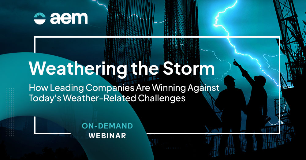
SOLUTION GUIDE
See our approach to weather monitoring, services, and resilience for businesses and learn more about our tailored solutions for ground shipping and transportation.

real-time monitoring
Road weather monitoring is the process of collecting and analyzing data related to weather conditions that can impact road safety and efficiency. This includes information on temperature, precipitation, visibility, wind speed and direction, and surface conditions such as ice or snow.
Don’t wait for bad weather conditions to cause traffic accidents and urgent maintenance tasks. Our sensors let you continuously monitor what matters, from downtown junctions to the open road.
Cameras can monitor the condition of road surfaces, detecting ice, snow, or other hazardous materials. This information is vital for determining when de-icing or snow removal operations are needed, ensuring safer driving conditions.
In-pavement sensors can also measure the temperature of the road surface and sub-surface. This information is crucial for determining the presence of freezing conditions, ice formation, or potential thawing, enabling timely deployment of de-icing measures as well as driver warnings.

reliable data
Rugged and durable weather stations and sensors are crucial for road weather applications due to the demanding conditions they often operate under. These devices need to withstand various environmental factors such as rain, snow, ice, wind, and temperature extremes while maintaining accuracy and reliability in data collection.
Everything we do is focused on providing you with reliable data and insights. That’s why every component in every AEM system is proven in some of the harshest roadside conditions on earth.

Insights you can trust
Roads are vulnerable to a range of weather conditions. We help you track temperature, potential floods, risk of snow and ice, and much more. Every data point builds to give you the insights you need to see risks long before they arrive.
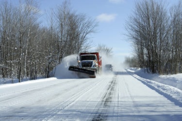
Snow and ice reduce adhesion to the road surface, which can lead to loss of traction, skidding, and collisions. Falling temperatures after a period of snow or sleet can also result in icy conditions on roads, bridges, and overpasses, increasing the risk of accidents.
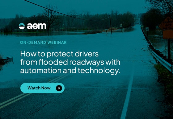
Heavy rains can lead to roadways flooding, creating dangerous driving conditions and necessitating detours. Additionally, rain can reduce visibility and make the road surface slippery, increasing the risk of accidents.
High temperatures can cause road surfaces to soften and expand, leading to buckling or warping. Conversely, very low temperatures can lead to contraction and cracking of road surfaces.
Strong crosswinds can pose a risk, particularly for high-sided vehicles and cyclists. They can also blow debris onto the road, creating hazards.
Furthermore, extreme weather events associated with climate variability can disrupt and damage roadway infrastructure.

AEM Elements 360 is a multi-hazard weather intelligence solution and the cornerstone of the Elements Resiliency Platform.
Find out more
Our road weather system improves operational and disaster response time with quality, real-time, localized environmental data.
Find out more
Our fixed road sensors can spot potential hazards and influence driver behavior to help reduce accident frequency and save lives.
Find out more
Read how they keep people safe with automated flood detection and road condition monitoring.

Doña Ana County leverages real-time hydrology and lightning data to gain situational awareness and make decisions to support emergency management operations when flooding is imminent.

Learn how Contrail® provides a one-stop flood protection toolkit for a community of over 1,000,000.