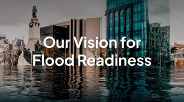
Are you ready to protect your community from the growing threat of major floods?
The growing impact of flooding
0K+
flood-related deaths around the globe 2010 – 2023
Source: Our World in Data
$0B
in annual flood-related damages worldwide
1.0B
global citizens are directly exposed to intense flood risk
Source: World Bank
The full scope of flood hazard management
Flood risk management is incredibly challenging because “a flood” isn’t just one predictable hazard that plays by the same rules in every scenario. Click the circles on the map below to learn more about how flooding presents unique challenges in different settings and contexts.
Arid / semi-arid terrain
Flash floods develop incredibly quickly in dry, arid, or drought-ridden areas because the soil cannot absorb rainfall properly.
Wildlands
In areas where wildfires, logging, or development have reduced trees, floodwaters can rapidly reshape the land in undesired ways.
Dams / Reservoirs
Major infrastructure is susceptible to overtopping and potential failure when owners and operators don’t manage with extreme rainfall events in mind.
Rivers / Streams
Rainfall or snowmelt can overwhelm small waterways, leading to backup and flooding in urban, suburban, and rural communities.
Metropolitan areas
Heavy rainfall can overwhelm urban stormwater and wastewater infrastructure, leading to streets and homes flooding.
Agriculture
Floods can endanger livestock, wash soil away, and spoil crops by promoting mold growth, impacting the food supply.
Roads
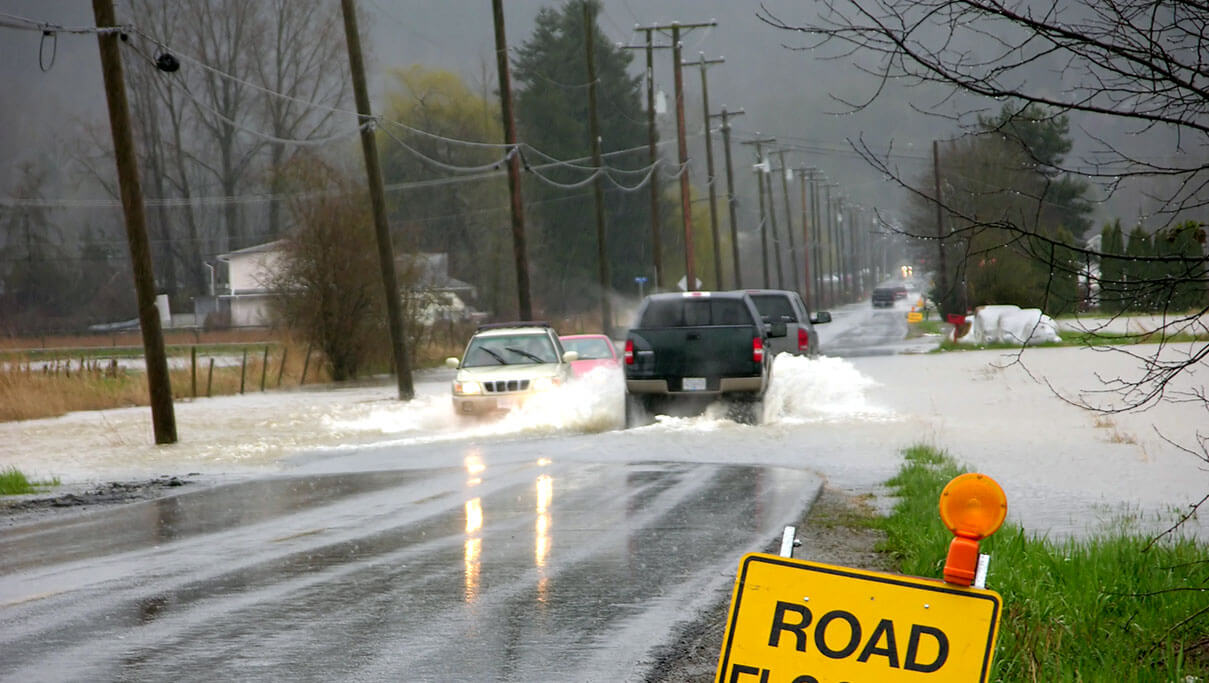
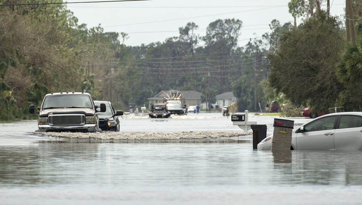
Over half of all flood-related drownings occur when a vehicle is driven into hazardous flood water.
Levees
Tidal storm surge, river flooding, and multi-day storms can all cause levees to fail from strain or become overwhelmed by rising waters.
Coastal flooding
Tidal storm surges and tsunamis can cause rapid flooding in communities where the land meets the sea.
Our approach to flood early warning systems
An ideal flood warning system is complex. At AEM, we use a framework that expands upon the internationally accepted four pillars of flood warning systems. Click through the steps of the cycle to hear how some of our top knowledge leaders explain our approach:
1. Flood risk knowledge
Every early warning system needs to begin with an understanding of where flood risks exist, which conditions or scenarios could create flooding, what property or infrastructure could be in danger, and exactly where water will go during a flood event.
2. Monitoring & forecasting
Hydrological and atmospheric models provide a critical lens for understanding the precise relevance of the various data points and their likely impact on flooding. To provide even more lead time, a flood warning system should also look at forecasted values for key variables like rainfall and water levels.
3. Hazard communication
To lead an informed flood response, local leaders need to be able to communicate with a variety of stakeholders, from political and business leaders to emergency responders and everyday citizens in harm’s way. Great communication requires accurate data, timely delivery, and clear messaging.
4. Response management
Once a potential hazard has been identified, it’s crucial to be able to turn data into action to lead a strong response. With that said, outstanding response requires a combination of timely, event-specific inputs and detailed, well-understood emergency management protocols.
5. Continuous re-evaluation
Every flood provides an opportunity to examine what went right and what went wrong, so flood warning system managers need to re-examine each event after the fact and look for lessons that they can apply to the next flood. Through this kind of iterative improvement, a flood warning system can get better over time.
Our end-to-end capabilities and expertise
We’re a full-service flood risk management partner. That means we’re here for you at any moment in your journey as a flood management stakeholder. We can help you understand your risk profile better, improve the accuracy of the forecasts you’re receiving, demystify your monitoring challenges, or connect you with the technology you need to bring your flood readiness vision to life. Some of the core ways we support flood customers include:
 1
1
HYDROMET NETWORK DESIGN
- Create a hydrological model of your area
- Identify key areas of high flood risk
- Design a monitoring network to create the backbone of an early warning system
 2
2
SENSING INSTRUMENTATION
- Sensors for weather, rainfall, water level, stage, and flow
- Flexible hardware options for any budget or situation
- Installation, maintenance, and training services
 3
3
FLEXIBLE TELEMETRY OPTIONS
- Reliable transmission from any location, no matter how remote
- Choose from satellite, cellular, IP, and beyond based on application
- Compatible with ALERT2 radio telemetry networks
 4
4
REPORTING & VISUALIZATION
- Comprehensive weather software with predictive forecasts and real-time monitoring dashboards
- Centralized data collection and analytics that create a single source of truth
- Total situational awareness for water management and flood monitoring
 5
5
Alerting & response management
- Role-based flood warning messages, alerts, and notifications
- Flexible alert and notification frameworks, including email, text message, and beyond
- Collaboration software for water and emergency response management leaders
 6
6
POST-EVENT ANALYSIS
- Understand how and why a flood played out the way it did
- Increase your preparedness for the next similar event
- Continuously improve your approach to monitoring
GET IN TOUCH!
Interested in learning more?
Have questions about anything you’ve read? Ready to see how AEM’s flood services could improve severe weather resilience in your community? Fill out the form below to get a conversation started.
Resilience in Action
We’re proud to be empowering communities around the world to survive – and thrive – in the face of escalating flood risks. Here are some examples of communities that have addressed their unique flood challenges with help from AEM:
Case studies
- 1. Raleigh, North Carolina
- 2. Doña Ana County Flood Commission, New Mexico
- 3. Charlotte-Mecklenburg County
- 4. Bureau of Indian Affairs Safety of Dams Program
- 5. Fortune 500 Mining Company
Challenges
- Lack of visibility into rainfall between gauges
- Hourly updates from the field were insufficient for flood warning
- Needed to predict the impact of rainfall based on forecasts
THE SOLUTION
Gauge-Adjusted Radar Rainfall (GARR) – GARR data enables Raleigh Stormwater to see exact real-time rainfall for any point in the city, eliminating blind spots.
Vflo Flood Simulation Model – Modeling increased Raleigh’s understanding of its flash flood-prone urban creeks, creating a reliable framework for decision-making.
72-hour advance flood forecasts – Multiple rainfall forecasts based on quality modeling create a reliable view for up to three days into the future, enabling better preparedness.
Challenges
- Limited and outdated flood warning systems
- No shared data view for numerous collaborating agencies
- Response times slowed by lack of integrated data
THE SOLUTION
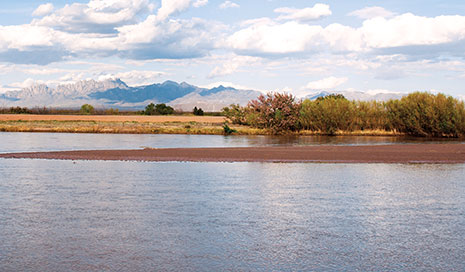
Data collection software – Our software provides the Doña Ana County Flood Commission with a real-time centralized data hub for precipitation monitoring and flood risk management.
Sensor network design – Doña Ana County created a real-time weather and precipitation monitoring network for key sites across their county using ALERT2 framework.
Field services & maintenance – AEM brought the county’s planned network to life, installing all gauges, training local stakeholders, and providing ongoing maintenance.
Challenges
- Fragmented flood monitoring and water quality data
- Limited alerting capabilities for Storm Water Services
- Lack of visual data from the field in the decision-making process
THE SOLUTION
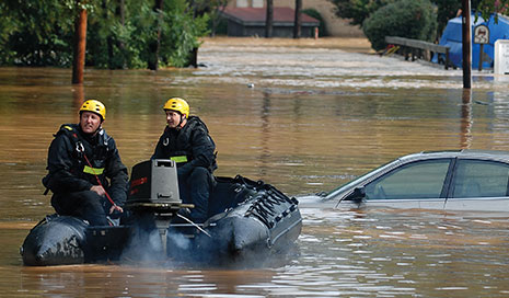
Water management software – Our software enables Storm Water Services to ingest vast quantities of differently formatted data in one central hub.
Single source of truth – Storm Water Services can support its water quality management efforts using the same system they rely on for stormwater intelligence.
Camera Integration– Storm Water Services professionals can now get a live view of key sites in the field to inform risk assessment and strengthen response coordination.
Challenges
- Supporting a 24/7/365 emergency operations center
- Accommodate a wide range of dam types and ages
- Provide a digestible, empowering experience for a tight staff
THE SOLUTION
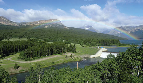
Decision-support software – Our software helped BIA create a full-scale automated national dam monitoring and alerting network that also met the needs of each individual site.
Real-time satellite communications – BIA’s monitoring team receives all data from any site in the field in 22 seconds or less, enabling swift decision-making and response in critical situations.
Ongoing training and maintenance – AEM provides ongoing in-person training, maintenance, and remote support so local tribes can use the early warning system with confidence.
Challenges
- Protect miners & workers from potential flash floods
- Create a visual source of truth for water management professionals
- Demonstrate a culture of safety & environmental compliance
THE SOLUTION
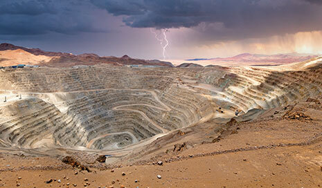
Hydrology stations – Packaged pressure transducer stations enable real-time water level monitoring and simplified reporting for key sites, even in remote locations.
High water detection systems – Lighted signage and automated gates alert workers and close at-risk roadways during a flash flood to maximize worker safety.
Easy-to-interpret software – Real-time data & alerts are presented side-by-side with weather maps in AEM Elements™ 360 to inform timely decision-making and demonstrate regulatory compliance.
Self-Assessment
How flood-ready is your community or business?
Do you have the right foundation of knowledge, data, and technology to survive and thrive in the face of escalating flood risks? Answer a few questions and find out!
Take the assessment
