Road Weather Information Systems
Wet or icy road surfaces can be dangerous and costly to manage. Our single-solution road weather information systems (RWIS) provide real-time data that helps you make the right decision, every time.
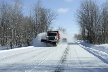
Wet or icy road surfaces can be dangerous and costly to manage. Our single-solution road weather information systems (RWIS) provide real-time data that helps you make the right decision, every time.


Our team helps design and implement the perfect road weather solution to meet your needs.

Make sure your equipment meets industry standards.

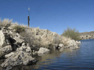
Start with a simple flood sensor then add high-resolution sensors as you see results.
Specific Sensors for Specific Roads
Every road reacts differently to precipitation and low temperatures. We design the set of monitoring tools that tracks the most important factors on your roads. Best of all, you can start with a single installation, then grow your network over time.
high water detection systems
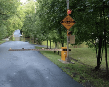
Alert drivers or choose to close roads when adverse weather is on its way. When you have the right data, these choices become clear – saving you money on costly rescue operations and road maintenance.
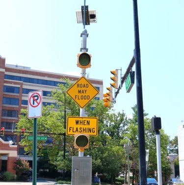
expand when you are ready
With a single solution, we help you develop a robust road weather system over several years – starting with the basics then gradually adding detail. Perfect for teams that need to adhere to strict budgets over time.
At AEM, we design complete systems, from sensors to data loggers to software, that deliver mission critical data to make the best decision possible. From winter weather conditions to flooded roadways, our road weather product line offers the most complete solution for agencies of all sizes.
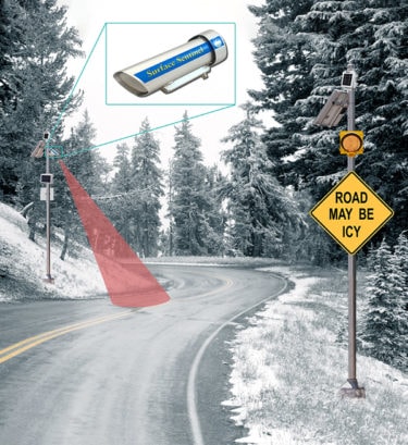
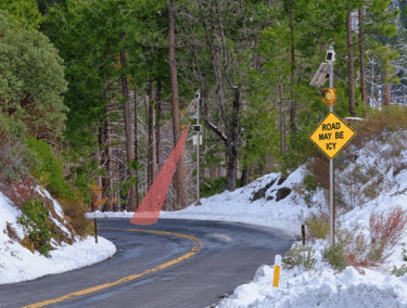
Provide a real-time visual warning to drivers that there is potential for ice on the road in areas that are accident prone.

Our fixed road sensors can spot potential hazards and influence driver behavior to help reduce accident frequency and save lives.
Road weather information systems help decrease the risk of accidents by alerting emergency management personnel and motorists in real-time when hazardous conditions exist.
Road weather information systems typically measure three types of road weather information: pavement-level data, atmospheric data, and water level data.Pavement-level data can include surface temperature, subsurface temperature, road condition (dry, damp, wet, snow, ice), and friction coefficient (good, fair, or poor grip). It is important to consider current weather conditions when determining road safety, which is why the best road weather systems incorporate atmospheric data such as air temperature, relative humidity, wind, and precipitation information, among others. Present weather conditions such as limited visibility due to fog, rain, snow, and freezing precipitation are also measured.
The data that comes from a typical road weather system includes all the information needed to assess the conditions of a roadway including:
RWIS are deployed anywhere road surface conditions are important, including:
There are many benefits to an RWIS system:
WEBINAR
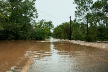
This webinar explores the use of High Water Detection Systems where real-time monitoring at the flood-prone point in the road can automatically activate flashing beacons and gates to warn motorists of danger ahead. In this webinar you will learn:
