
Elements API
Elements API delivers AEM’s environmental intelligence directly into your systems, with real-time, historical, and forecast data for lightning, weather, flood, wildfire, snow, and more.
- Powered by AEM lightning and monitoring networks plus official sources
- Delivered via REST, WebSockets, webhooks, S3 or FTP
- Automated alerts pushed to your systems when conditions change
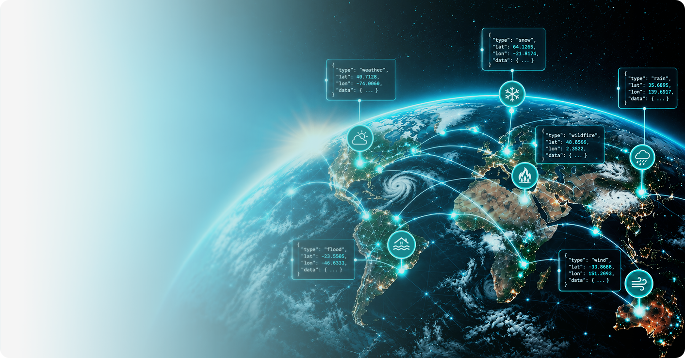
- Lightning
- Weather
- Flood
- Wildfire
- Rain
- Snow

Lightning
Access lightning data from AEM’s Earth Networks Total Lightning Network in near-real time, plus history, alert polygons, and map layers that support safety decisions, operations, and post-event analysis.
Features
- Live lightning data delivered in 15 seconds or less via WebSocket
- Historical lightning for the contiguous U.S., from 90 seconds ago to years
- Lightning alert polygons, including Dangerous Thunderstorm Alerts, using the Common Alerting Protocol (CAP)
- Alerts and all-clears pushed by webhook, based on rules you define
- Map tiles showing current and historical lightning

Weather
Build on a complete weather feed: station observations, hyperlocal forecasts, official alerts, and map layers. Data includes conditions such as temperature, humidity, wind, rain, solar, WBGT/heat stress, and air quality.
Weather
- Current and historical observations from AEM weather station networks plus METAR, SYNOP, C-MAN, and buoy reports
- Hourly and 10-day forecasts for cities, any latitude/longitude, or tuned to a specific weather station
- Radar, satellite, and lightning map tiles covering past, current, and forecast conditions
- U.S. National Weather Service warnings, watches and advisories

Flood
Monitor water conditions across your watershed. Flood data delivers real-time hydrologic observations, site camera imagery, alerts, and model-based water level forecasts that show where water is now and where it’s headed.
Features
- Current and historical observations from hydrologic and environmental monitoring stations
- Data from remote stations and field devices delivered through satellite, radio, IP, MQTT, file-based, and other telemetry networks
- Real-time alert status when readings cross configured thresholds
- Camera images and time-lapses from monitored sites
- Forecast water levels for specific locations, based on hydrologic models

Wildfire
See fire risk and activity across the landscape. Wildfire data combines camera imagery, remote station observations, and satellite-derived fuel layers to support monitoring, response, and risk assessment.
Features
- Images and time-lapses from wildfire cameras
- Current and historical observations from remote weather stations, including satellite-telemetered sites
- Dynamic fuel type and fuel load layers, updated every 10 days
- 20-meter true-color satellite imagery
- GIS-ready layers via WMS, plus alert status for configured thresholds

Rain
From live gauge readings to certified totals, rain data covers observations, forecasts, and verified rainfall amounts for any location you need to monitor, plan for, or document.
Features
- Current and historical observations from AEM weather stations and global reporting networks (METAR, SYNOP)
- Hourly and 10-day forecasts for cities, any latitude/longitude, or a specific weather station
- Current and forecast rainfall for specific locations
- Certified rainfall totals for event and insurance verification
- Alert status for configured rainfall thresholds

Snow
Access certified snow and ice data, including snowfall totals, freeze verification, and historical climatology for contract management, claims, verification, and seasonal planning.
Features
- Post-storm snowfall totals and event data by location, with certified PDF reports available for documentation and verification
- Certified air temperature, pavement temperature, and precipitation data to verify freezing and icing conditions
- 30-years of historical snow and ice data by location for climatological analysis and seasonal planning
- Current snow observations and alert status across monitored locations

See how your lightning risk measures up
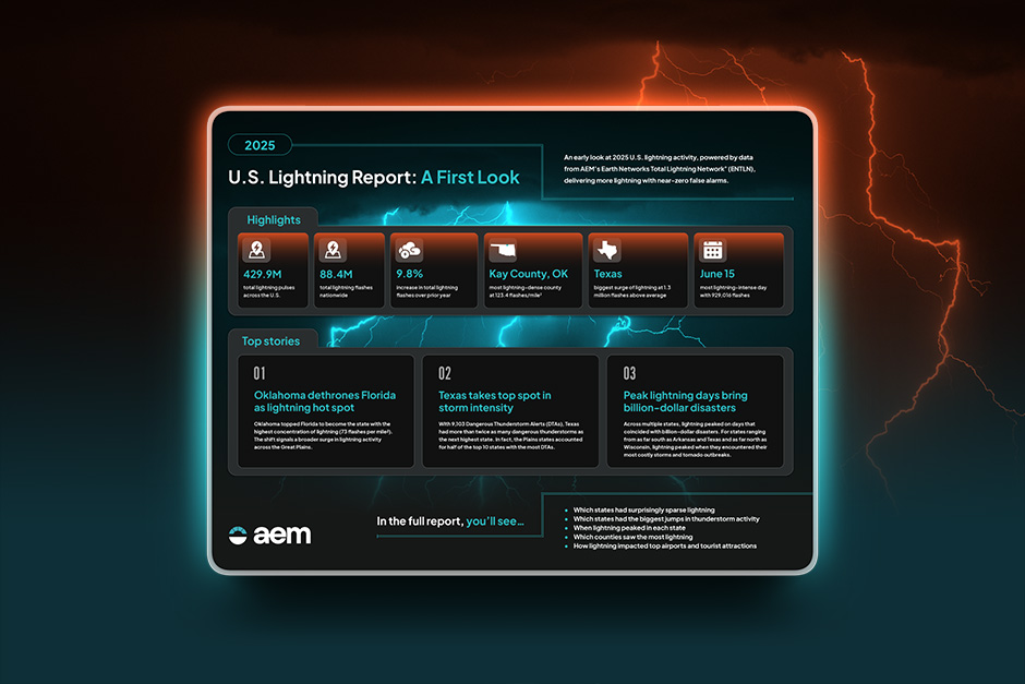
Powered by the ENTLN, AEM’s 2025 U.S. Lightning Report delivers top stories, deep insights, and comprehensive observations of lightning activity for every state and county. Plus, get bonus data for top airports, outdoor venues, and tourist destinations.



GET IN TOUCH
Interested in learning more?
If you have questions about anything you see, fill out the form below. An AEM Weather Expert will reach out to you shortly.